
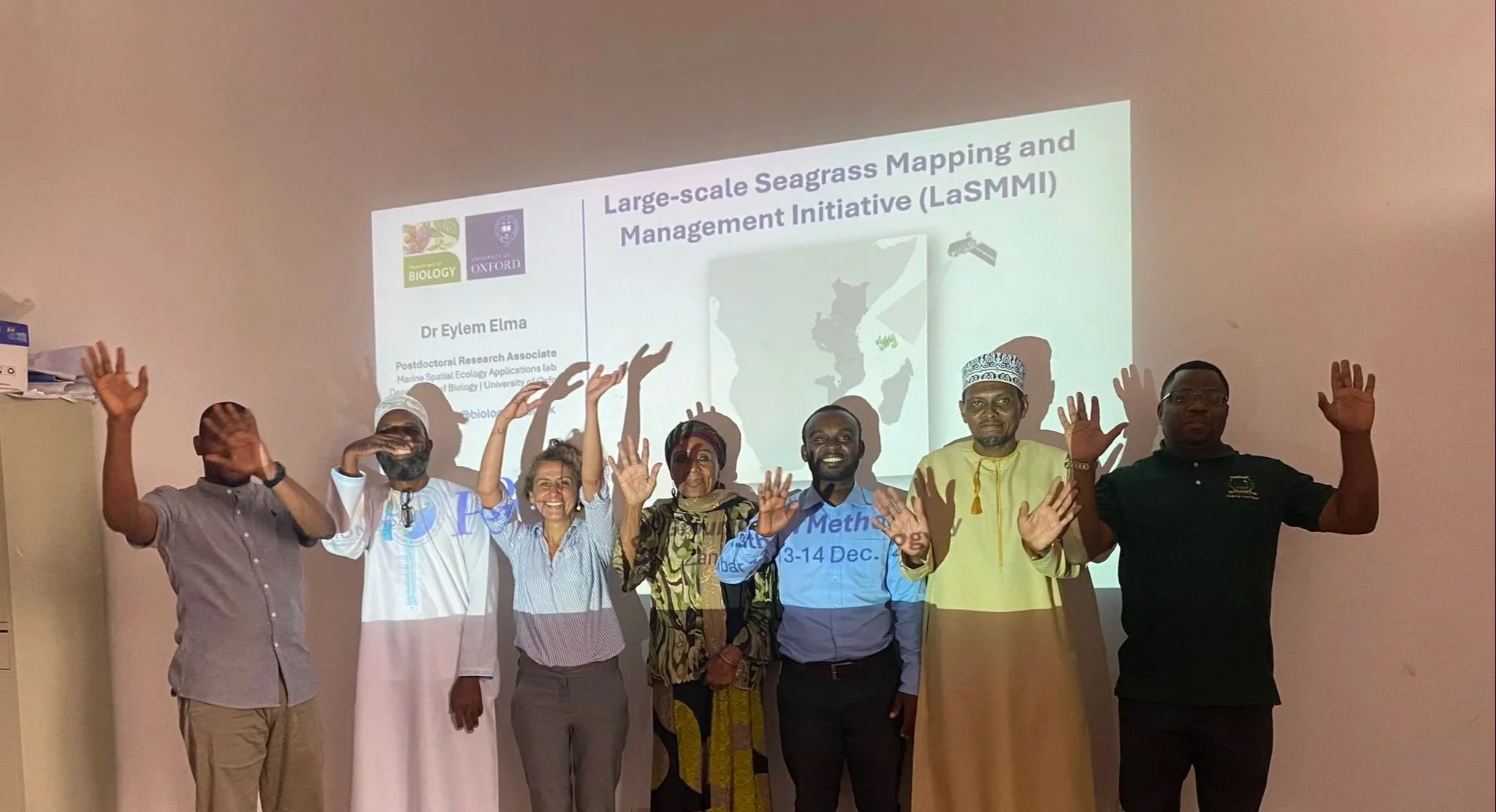
Large-Scale Seagrass Mapping and Management Initiative
Our Story
The Large-scale Seagrass Mapping and Management Initiative (LaSMMI), focuses on developing the first field-verified seagrass map and carbon stock assessments for the Western Indian Ocean (WIO) region, providing a crucial baseline for accelerating seagrass conservation and management efforts.
LaSMMI, a partnership between The Pew Charitable Trusts, the Western Indian Ocean Marine Science Association (WIOMSA), the University of Southampton and several WIO research institutions is dedicated to supporting governments in enhancing coastal resilience and promoting climate action through providing seagrass baselines that inform its conservation, unleashing its immense benefits for climate adaptation and mitigation, livelihoods, food security and biodiversity.
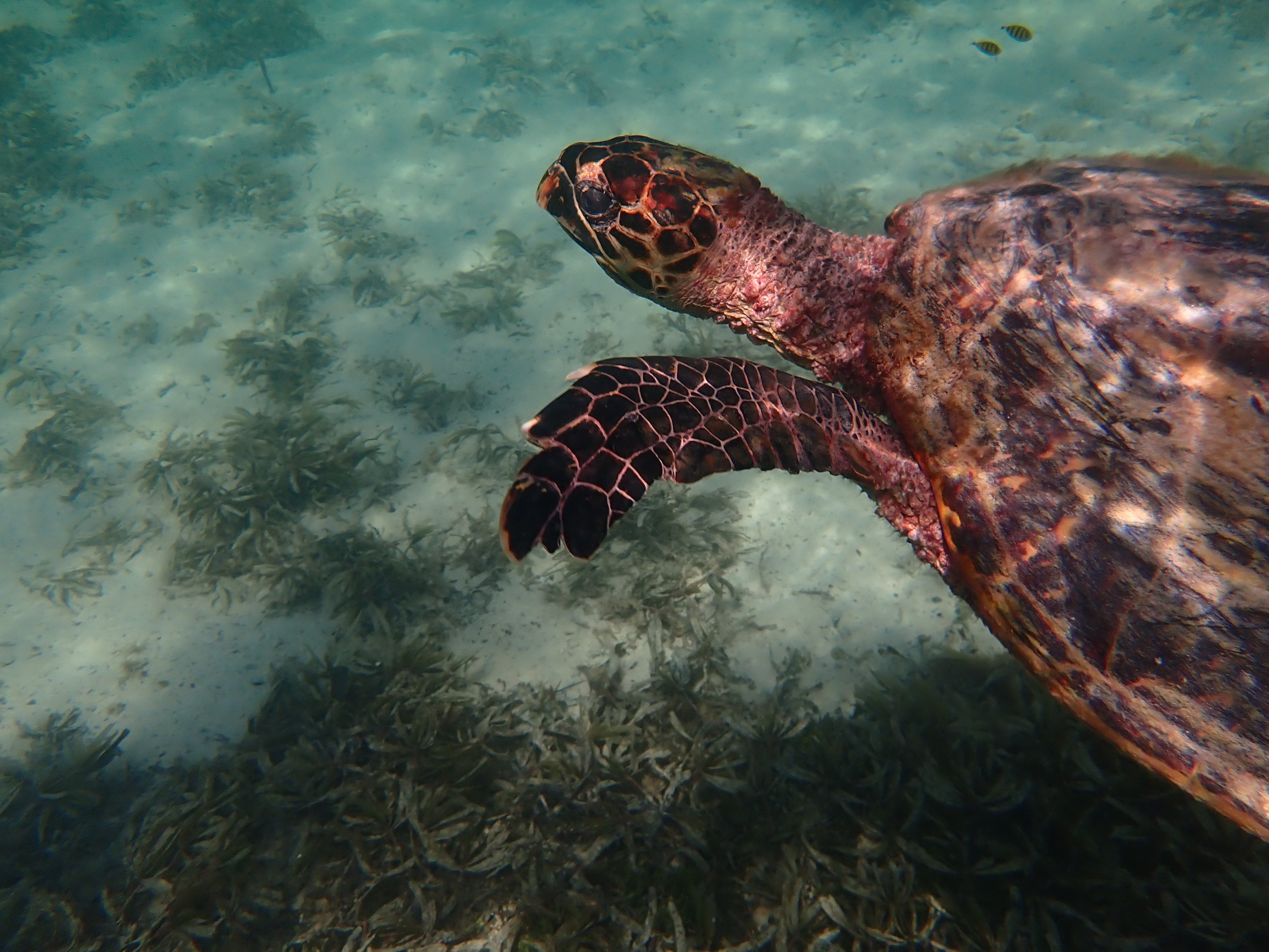
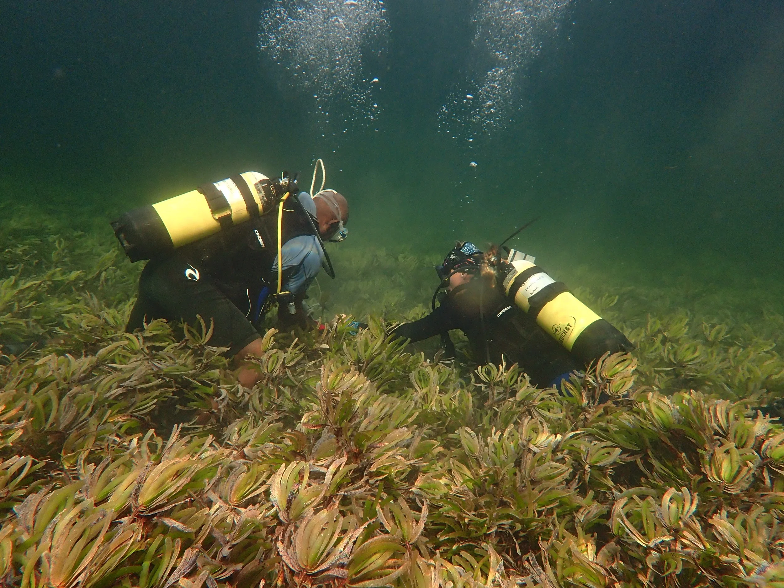
This work builds on the recently completed Seychelles Seagrass Mapping and Carbon Assessment project that developed the first field-verified seagrass map for the country which informed the government’s commitment to protect seagrass meadows in their updated NDC.
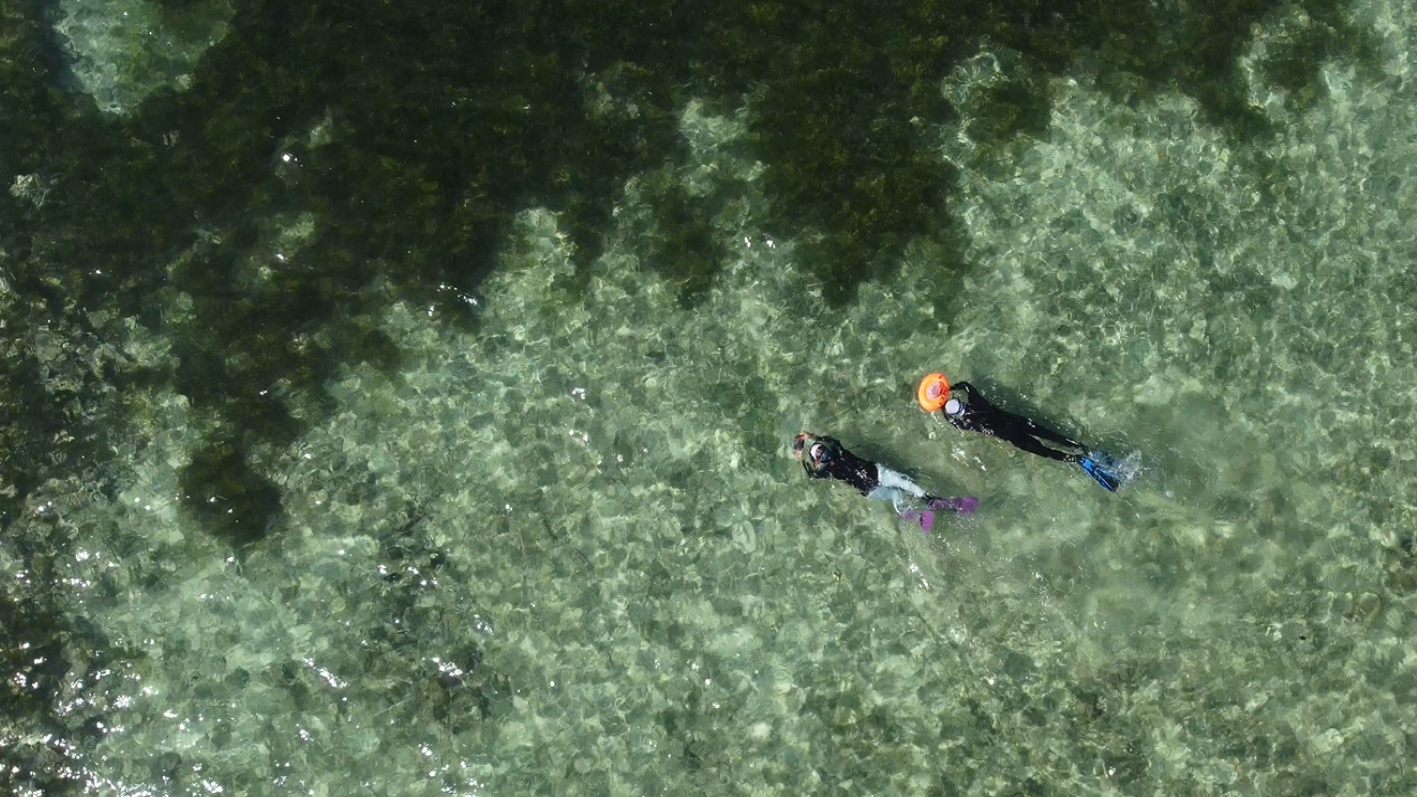
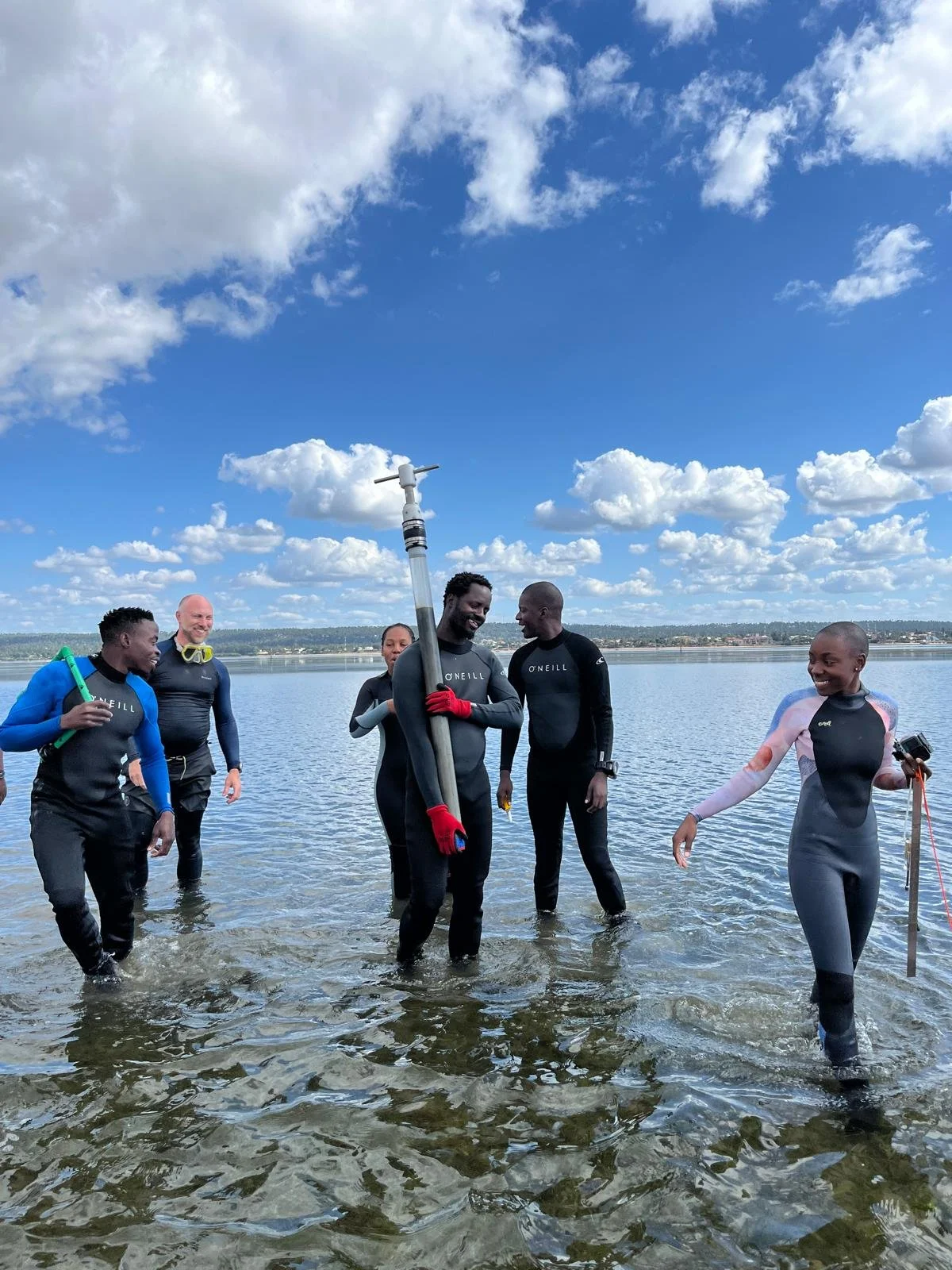
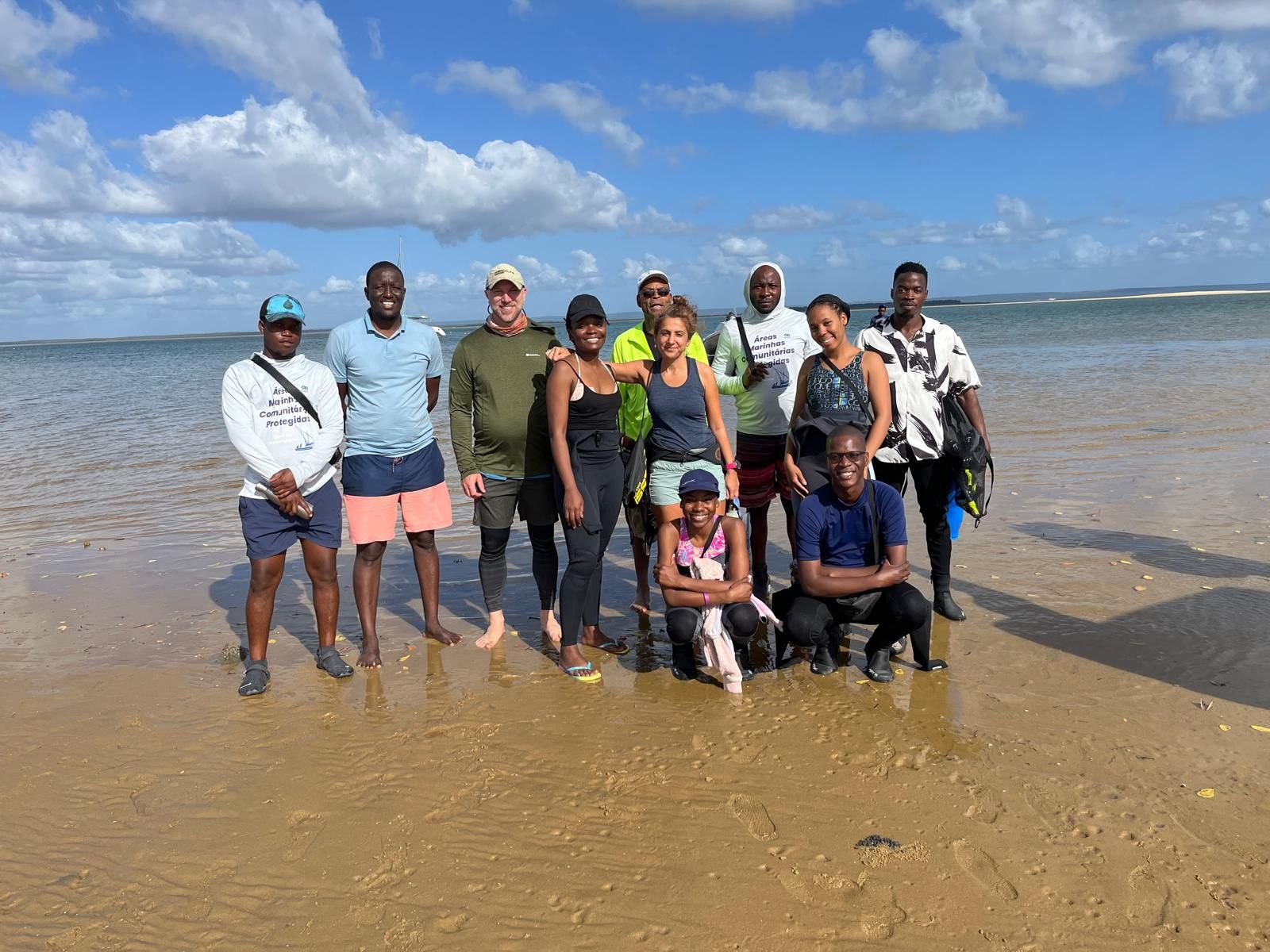
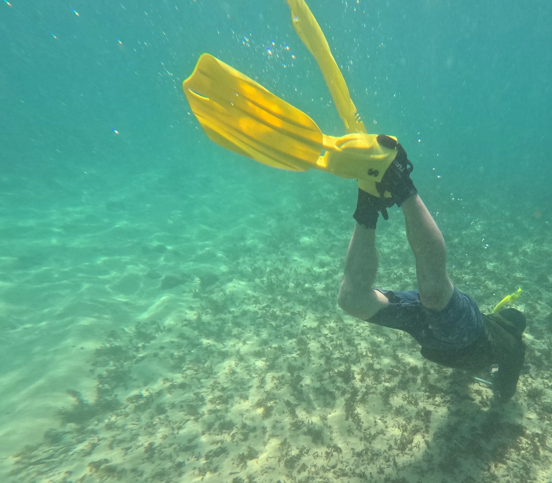
Photo Credit: Seychelles Seagrass Mapping and Carbon Assessment project


Our Research Team
-
Core Team
-
Kenya
-
Madagascar
-
Mozambique
-
Tanzania
-
Zanzibar


Keep Up To Date With LaSMMI
Contact Us
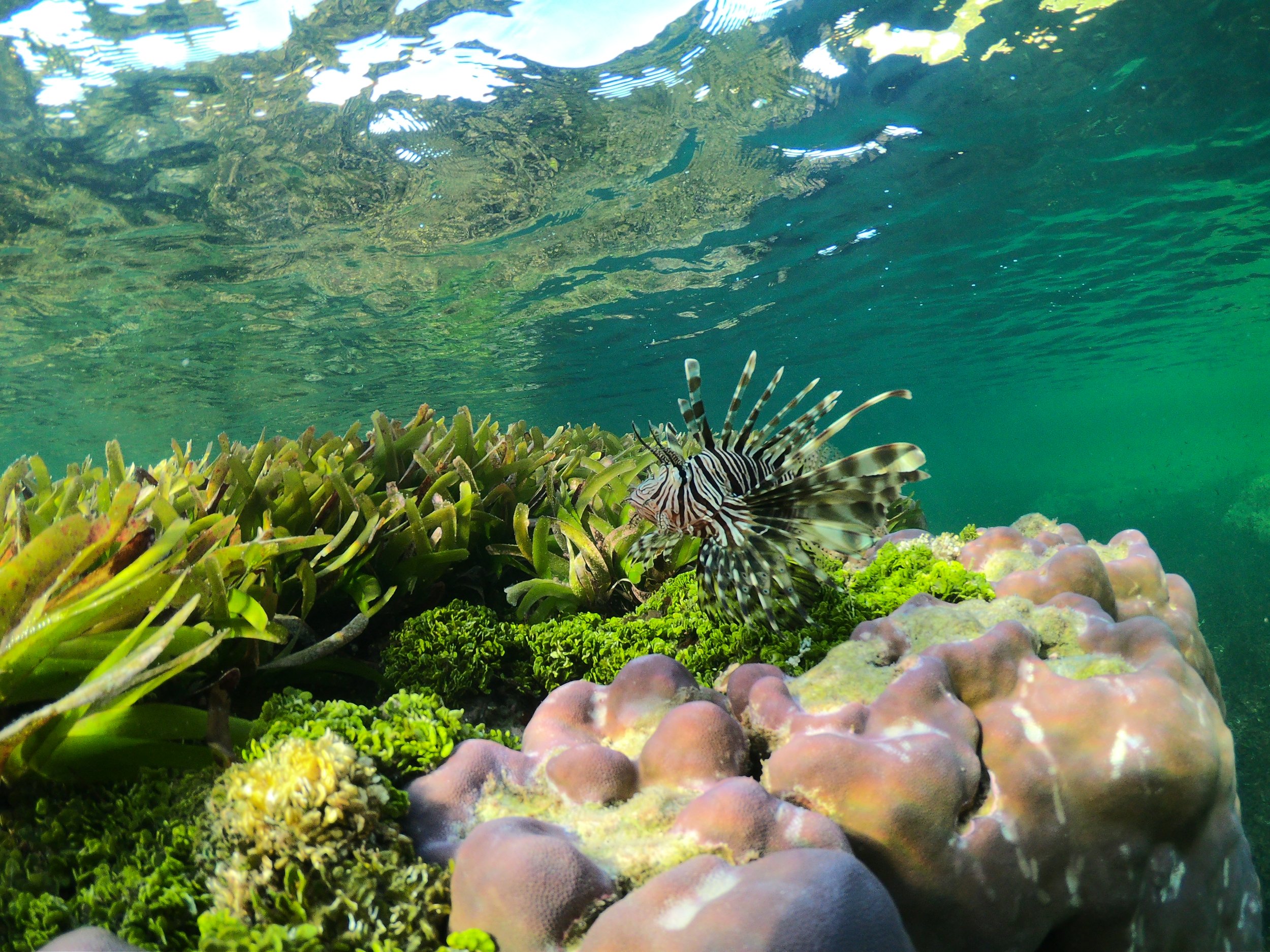
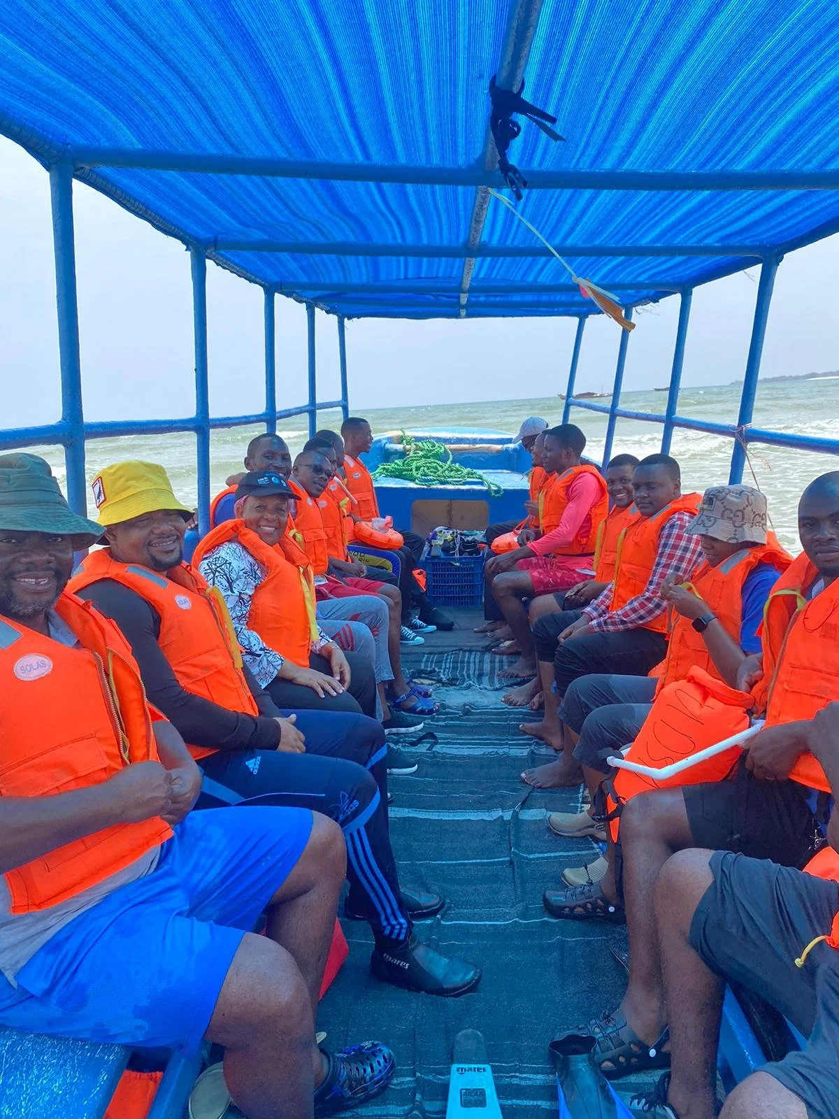
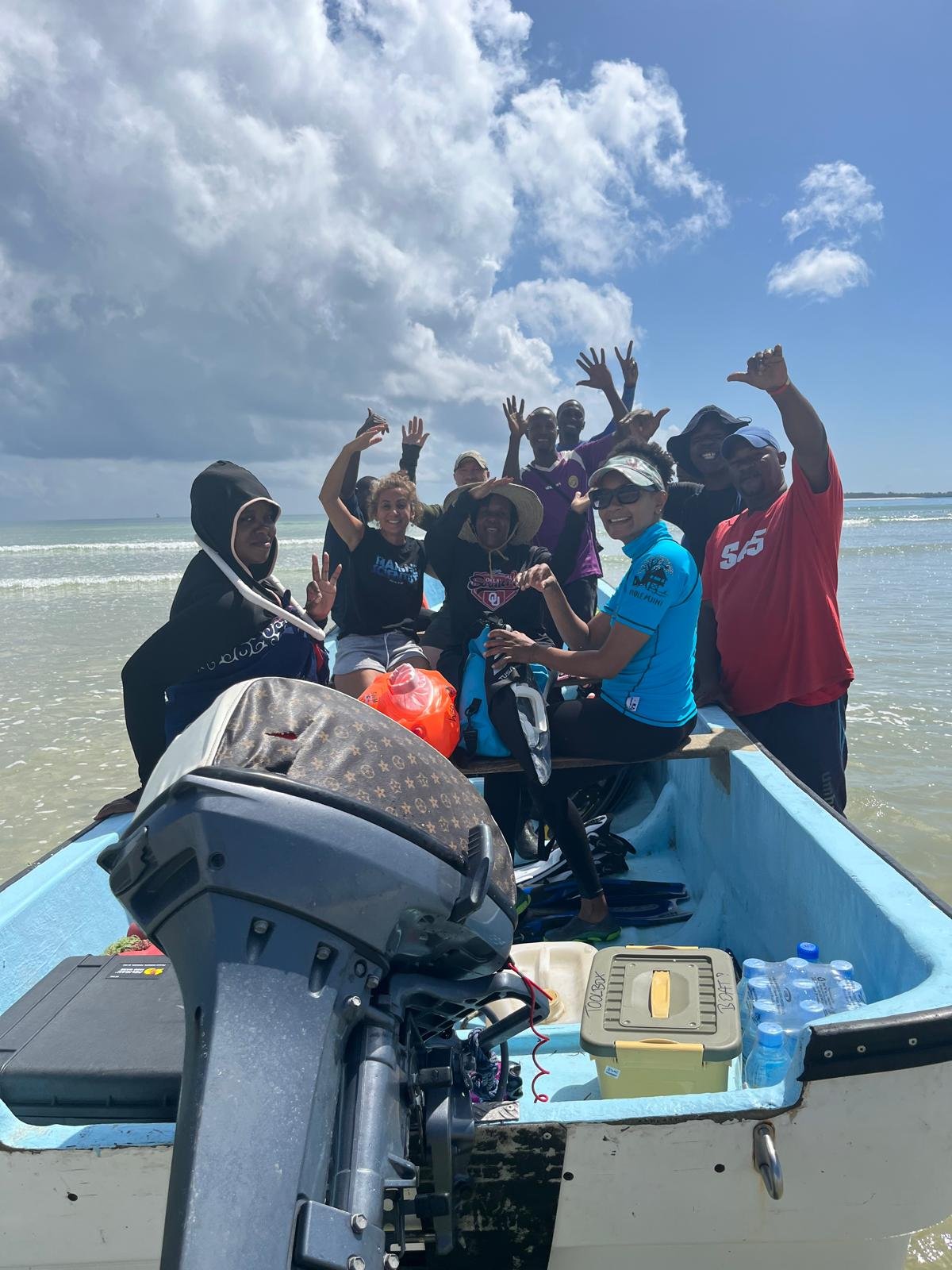
Photo Credit: Seychelles Seagrass Mapping and Carbon Assessment project