
Our Approach

Research & Capacity Building
LaSMMI will engage in-country, regional, and international partners to advance the understanding of seagrass spatial extent and strengthen regional expertise in seagrass mapping and conservation.
LaSMMI will:
Work with scientists in Kenya, Tanzania, Zanzibar, Mozambique, and Madagascar to develop a field-verified seagrass map and carbon assessments for the WIO, providing a baseline for accelerated conservation and management throughout the region.
Increase seagrass research capacity regionally through training workshops that support field verification, data collection, and analysis.

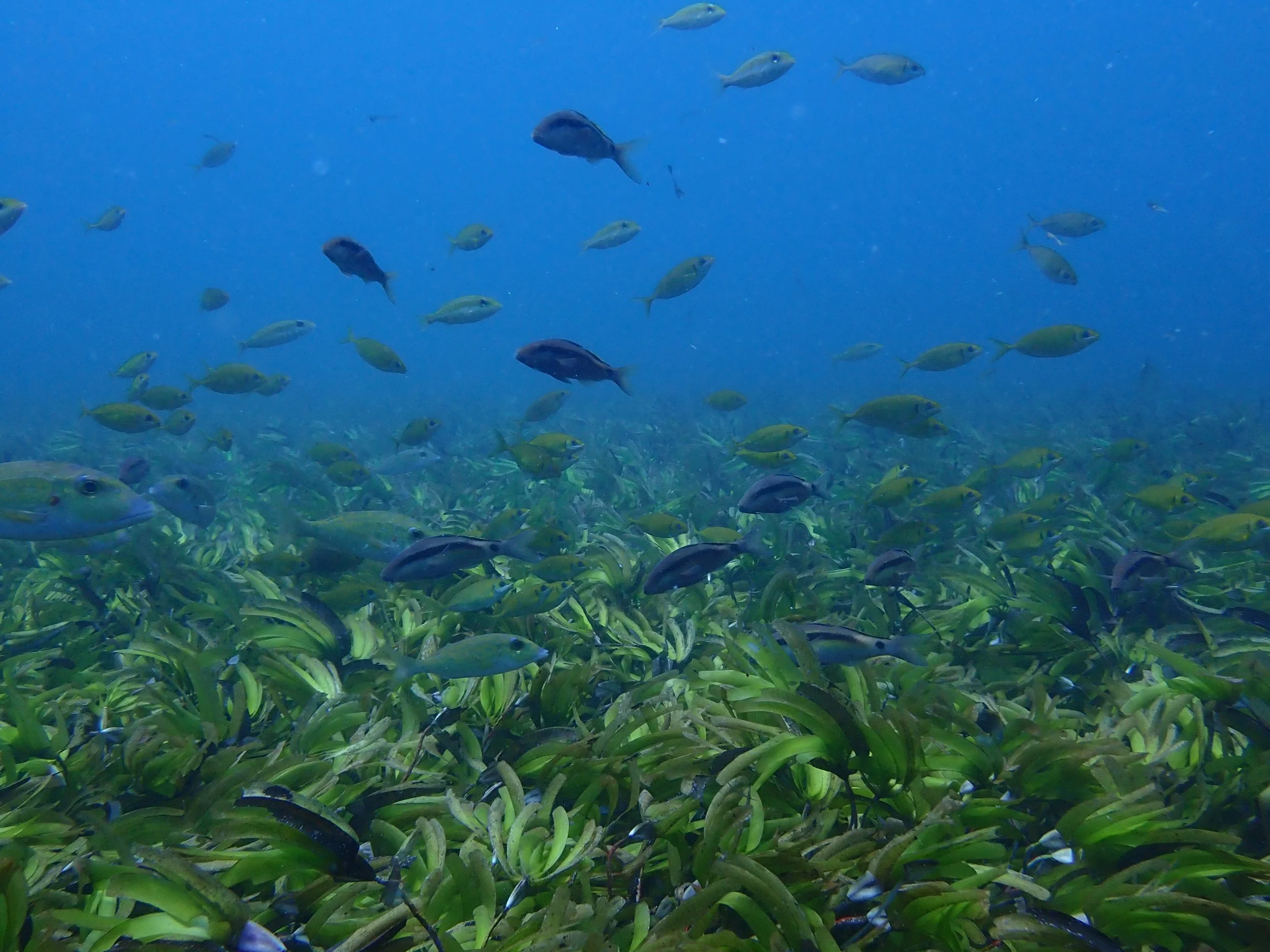
Photo Credit: Seychelles Seagrass Mapping and Carbon Assessment projectPolicy & Conservation
LaSMMI will enhance local and national awareness and policy capacity for seagrass conservation, highlighting its importance for climate adaptation and mitigation.
LaSMMI, in close coordination with Fauna & Flora in Kenya, Wetlands International in Tanzania, and Likhulu Foundation in Mozambique, and The Pew Charitable Trusts, will provide technical guidance on multiple avenues by which conservation and management of seagrass, and other “blue carbon” ecosystems can be included within countries’ Nationally Determined Contributions (NDCs) to the Paris Agreement and associated UNFCCC (United Nations Framework Convention on Climate Change) instruments, as well as within national climate and biodiversity policies.
Expected Outcomes
Standardized field-validated seagrass map and carbon assessments for Kenya, Madagascar, Mozambique, Tanzania and Zanzibar.
Enhanced regional technical capacity for field data collection, seagrass mapping, carbon assessments and knowledge sharing.
Meaningful progress towards the inclusion of seagrass in the Nationally Determined Contributions (NDCs) of the involved countries.